
notes and photos by Gill Smith
This was a 7-day trip exploring the inner Hardangerfjord, with walks on most days. I have split the pictures into blocks:
We arrived on the train from Bergen. The following day we went up the cable car to the plateau above the town and then walked up towards the telecommunications mast on Lønahorgi – but didn’t make it as we didn’t want to miss the last cable-car down, which leaves at 5pm (the first one in the morning is 11am, which seems to give you a bit of a short day on the tops).
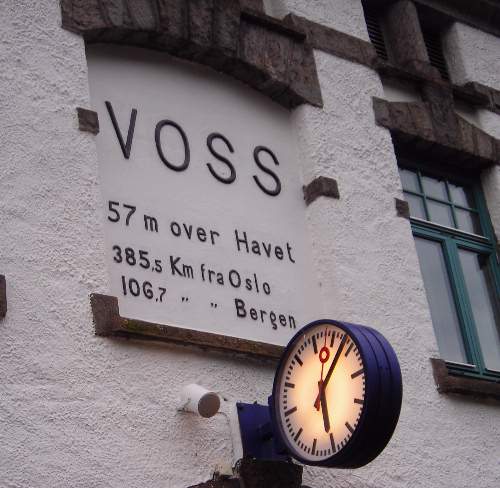
| Station clock at Voss. | |
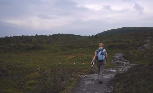
| Plateau above Voss – the walking was remarkably similar to the moors at home! | |
| ...but the views were better... | |
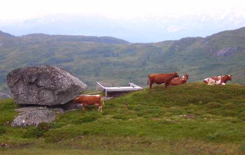
| and Yorkshire cows don’t wear bells! | |
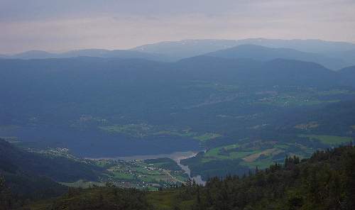
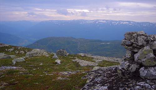
| View down over Lønavatnet. | |
| The moorland may have been like ours, but the flora contained several plants we don’t have, such as this starry saxifrage Saxifraga stallaris, which is only about half an inch across. As you can see, it likes it boggy. | |
| This was the furthest point we reached, just beyond the mountain hut Kvilahytta. | |
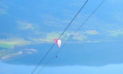
| Coming back down in the cable car this paraglider sailed overhead (there is a take-off point just beyond the top station). | |
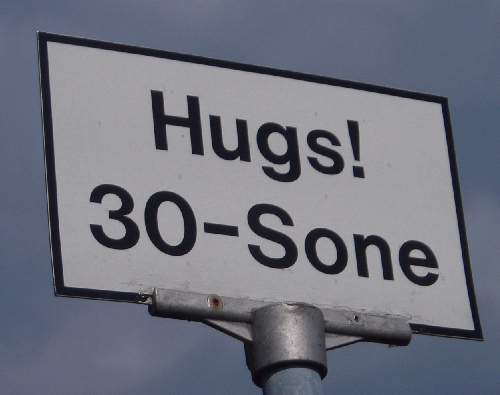
| No idea what it means but this road sign caught my eye. | |
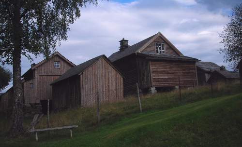
| This is part of the Voss Folkemuseum, a preserved collection of traditional wooden farm buildings. | |
We walked along the old post road connecting Granvin to Ulvik which climbs up over a pass, via a lake, and then drops down to the fjord at Ulvik, going through orchards. Ulvik is right at the north-eastern tip of the Hardangerfjord, and despite being miles inland still has a tide of 3-4ft, which I found very strange.
| Looking over the lake near Granvin. | 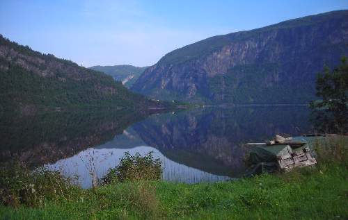 |
| We crossed this stream with a small waterfall along the way (there was another fall on the other side of the bridge as well). | 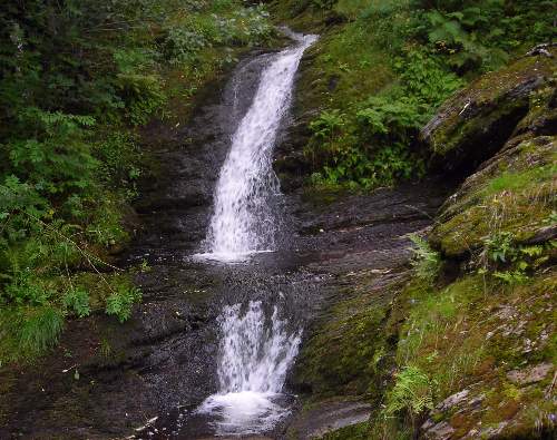 |
| Looking back over Granvin. | 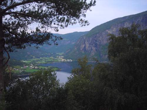 |
| Dwarf cornel Cornus suecica is a very rare plant at home, but was in its element here, with its red berries brightening up the roadside everywhere. You may also spot the interloper – tormentil Potentilla anglica. | 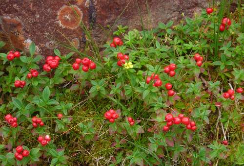 |
| The lake near Vatnaset near the summit of the pass (c.500m above sea level) | 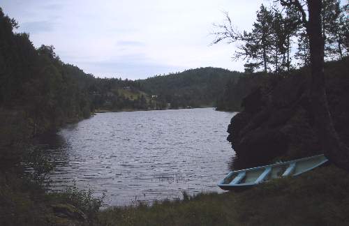 |
| A little beyond the lake we were walking through moorland and birch scrub that felt very like Scotland. | 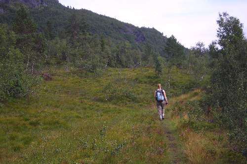 |
| There were numerous big ants in the woodland – this was a particularly impressive ant-hill; I resisted the urge to poke it! | 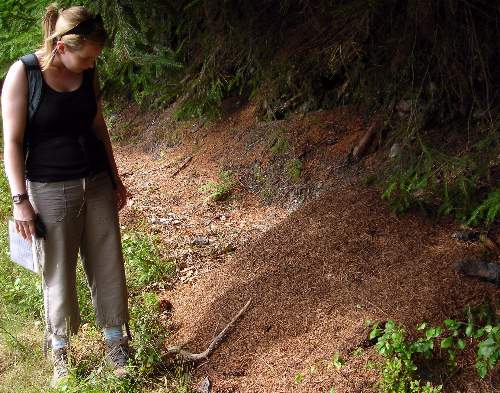 |
| The track descending towards Ulvik was much steeper than the climb on the Granvin side. This notice showing the kind of two-wheeled cart that was previously used looks very scary indeed! There was a series of these information boards around Ulvik, fortunately with the text in English (and German) as well as Norwegian. | 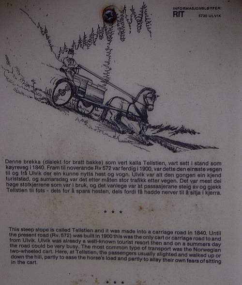 |
| Coming down towards Ulvik, and a first glimpse of the fjord. | 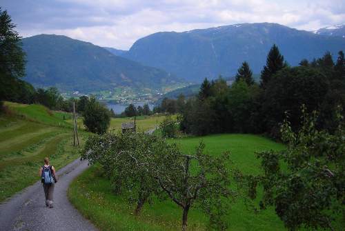 |
| Ulvik, down on the fjord shore but with snow-capped mountains rising more than 1000m above it. | 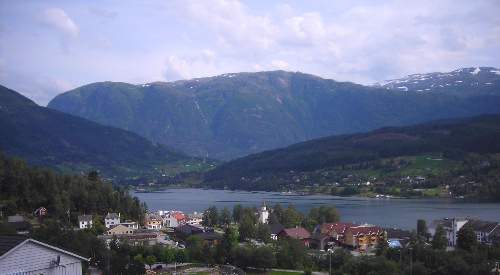 |
| Not a bad view from the hotel bedroom window.... | 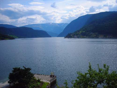 |
| This stream runs down beside the hotel to join the fjord. I suspect the building is an old mill of some kind. | 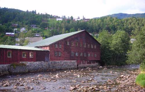 |
| The Brakanes Hotel in Ulvik – with boats for the guests. | 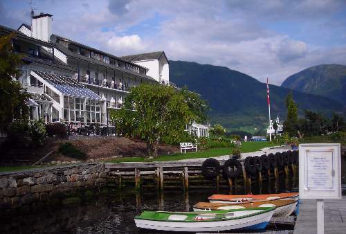 |
| Boats are always photogenic.... | 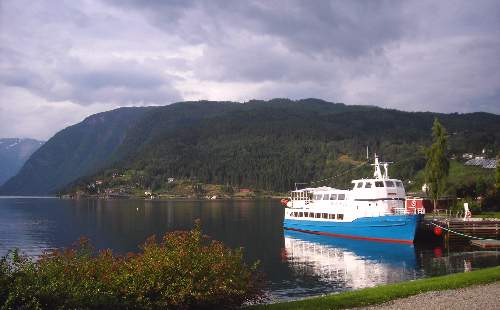 |
This day started with a bus and ferry ride to Kinsarvik, and then a walk in Husedalen.
Unfortunately the weather deteriorated for this walk up the Husedalen, a valley with a sequence of four spectacular waterfalls (well, more what I would call steep rapids) one above the other. The walk itself was mostly along a gravel track, which wasnt particularly exciting, but we did not fancy the alternative steep path straight up the hillside as it went across bare rock, and we thought it might be slippery in the rain.
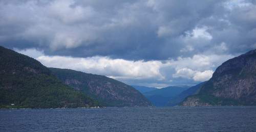
| View from the ferry – the classic fjord scene with 1000m slopes rising straight out of the water (and continuing a hundred or more metres below water level as well). | 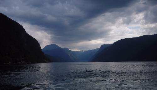 |
| ...and again. | 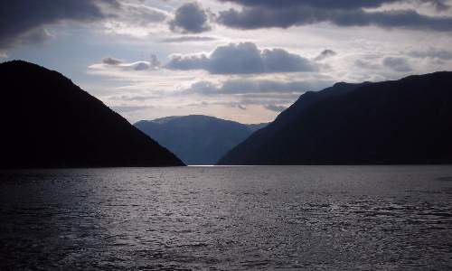 |
| And the other way – those clouds don’t look too friendly. | 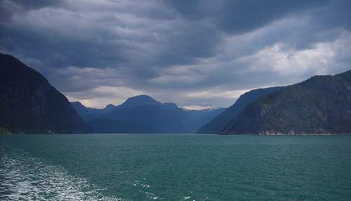 |
| This area is part of the Hardangervidda National Park. There is a series of informative notice boards (in Norwegian, English and German) such as this one on the geology. Sadly there wasn’t actually a geological map included! | 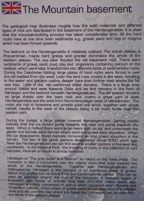 |
| View through the trees of the bottom fall. | 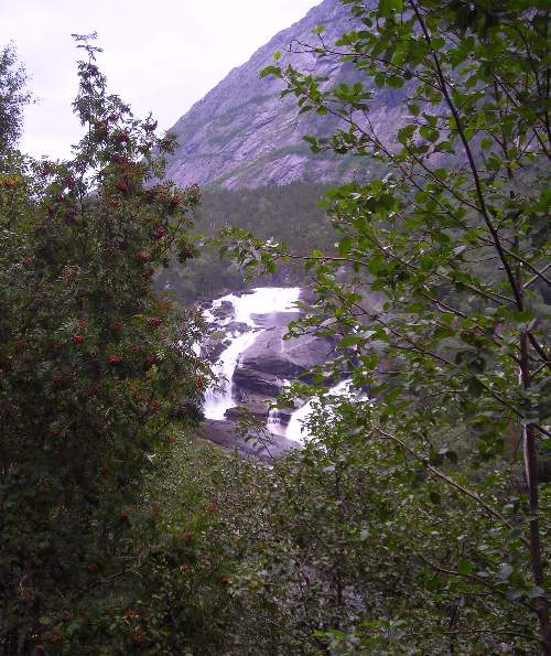 |
| A bit closer.... | 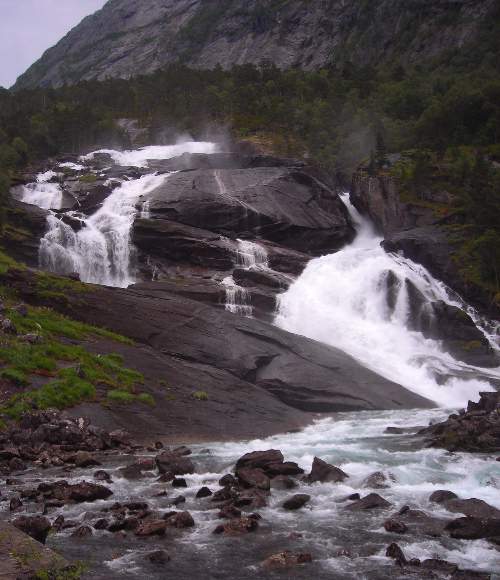 |
| The middle fall (and the national park boundary) | 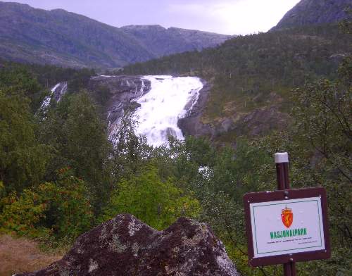 |
| View up the valley to the distant top fall, which we did not reach! | 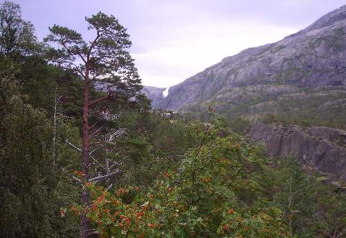 |
| The third fall, Nykkiesøyfossen, and the grassy area with a couple of wooden cabins, which was the end of our journey. You can just see the top waterfall in the distance. | 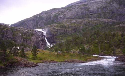 |
| Not the best movie in the world, but it gives a better impression of the waterfall than a still shot – this is taken from the grassy area which is called Nykkiesøy. |
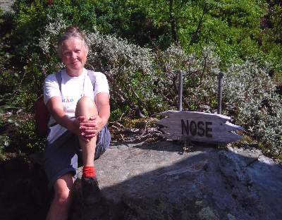
This walk, to a fantastic viewpoint above Lofthus (called Nosi or “the Nose”) was probably the highlight of the week for me – helped by good weather; after yesterday’s rain the air was beautifully clear with some very scenic clouds. The walk includes the climb up the Monks’ Steps, 616 stone steps built in the 13th century by monks who came out from York and apparently brought the first fruit trees with them. There is nothing left of the monastery itself, which was on the site of the Opedal farm on the edge of the village.
| View from the bedroom window of the Hotel Ullensvang in Lofthus, our next stop. | 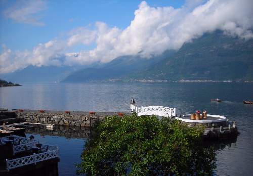 |
| The area around Lofthus produces 80% of Norway’s fruit harvest, mostly apples but also pears, plums and cherries. | 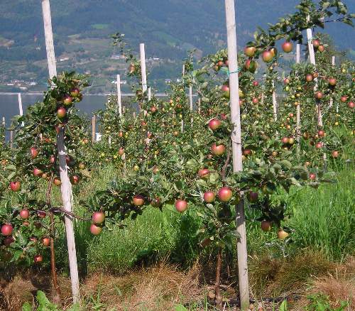 |
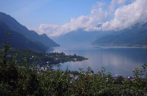
View down over Lofthus; the church is on the delta-like flatter area in the middle distance. The cloud hanging over the mountains on the far side of the valley is very typical – there was usually less cloud on the Lofthus side, at least while we were there. |
 |
| View through to the snow-capped high peaks. |  |
| About half way up. | 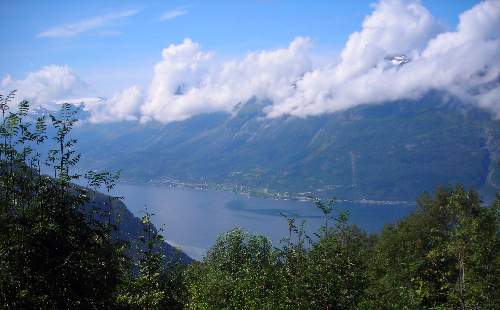 |
 |
|
| Climbing up through the birches reminded me of Scotland or the Lakes. | 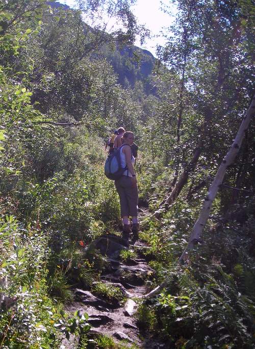 |
| From the top. | 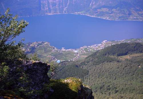 |
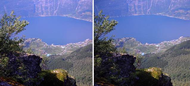
And here’s a stereo pair of this view....
Well, I made it as far as the notice anyway...
|
 |
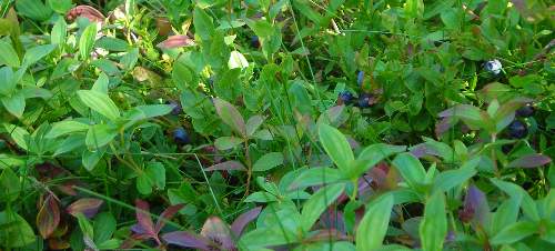
| The bilberries were delicious.... (growing with dwarf cornel) |
 |
| Coming back down – the clouds are still on the far side of the fjord. | |
| The Monks’ Steps. | 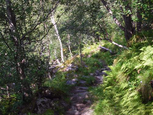 |
| Back onto the gravel track near the village. | 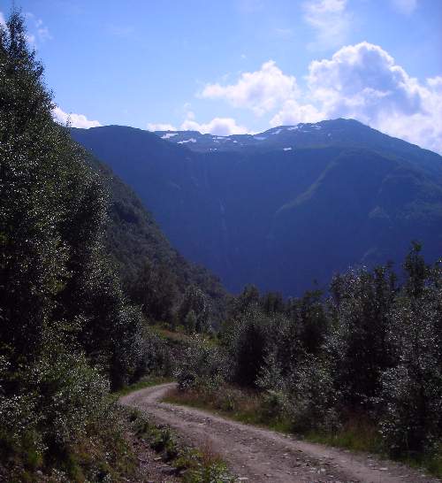 |
| Back down to orchard level. (The hotel is the big white building in the middle.) | 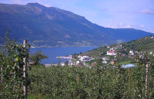 |
| Back in the hotel gardens. | 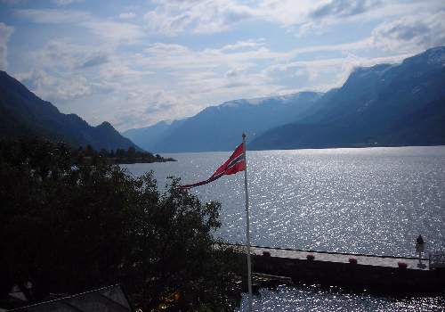 |
This is a gentle ramble up the Elvedalen valley. The River Opo is formed from two streams, both of which have waterfalls in their upper reaches. Those on the valley to the right (looking upstream) have enormous drops, but one never really gets close enough to appreciate their scale. The Bjødnejykse drops 650m (the third highest in Norway) and the Skrikjo about 400m. Were it not for the rock step separating them this would be the highest fall in Norway, at over 1000m. The other tributary has smaller but still impressive falls.
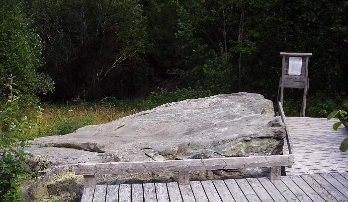
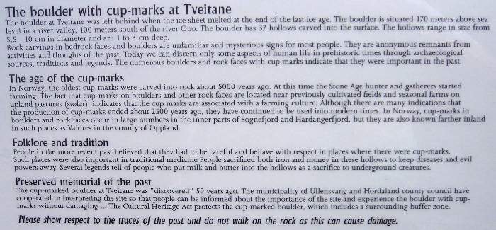
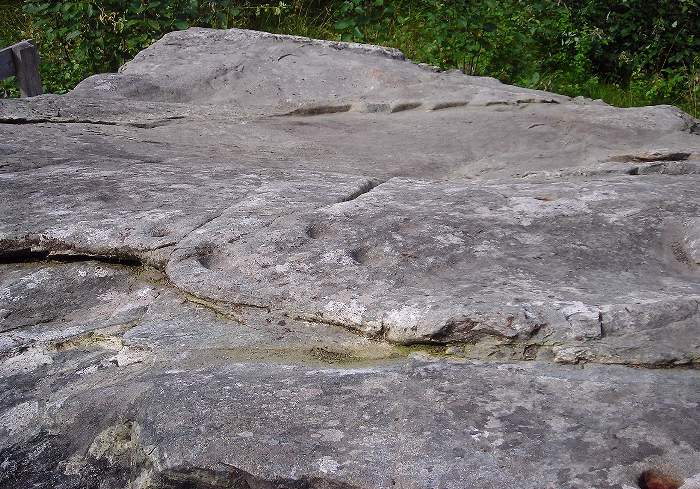
On the way back we passed a boulder with cup marks, an ancient monument that was interesting if nothing special to look at!
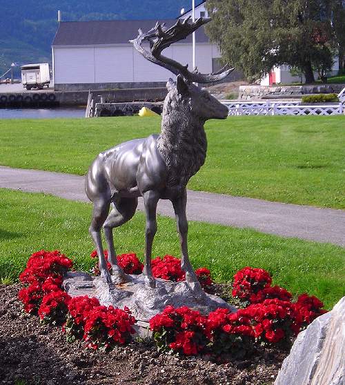
This rather nice statue stands in the hotel gardens. |
 |
| This shows the two very high falls, probably about 3 miles away. They could really have done with a bit more water in them to be really spectacular. | 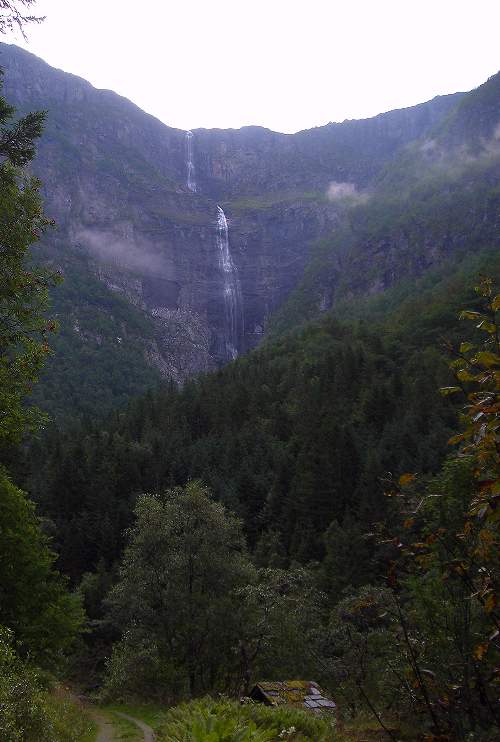 |
| The footbridge at the upstream end of the walk, over the Opo. | 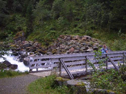 |
| Looking downstream from the bridge. | 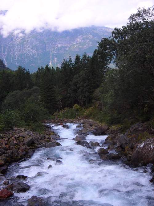 |
| ...and looking the other way. | 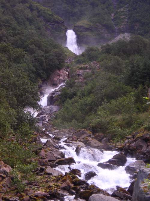 |
| View back down the valley. | 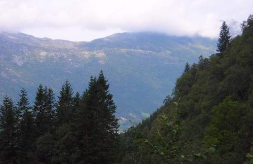 |
Not far from the footbridge we came across this ancient monument, which is similar to “cup and ring stones” found on English moorland.
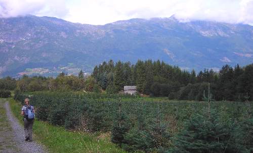
Returning to the village we found this plantation of spruce (Norway spruce of course!); whether it was for Christmas trees or just a nursery for forest trees I don’t know. |
 |
| Clearly a nursery for fruit trees. There is a research station for fruit nearby, and a good deal of research is going on into different varieties, grafting methods, cultivation techniques and so on. | 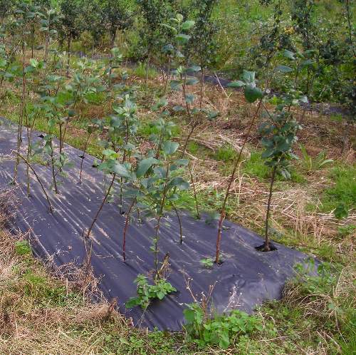 |
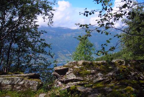
| View back up-valley. The high falls are round to the right, hidden from this viewpoint. Note the coloured windsock marking a grassy landing area for paragliders (this also gives some idea of the scale of the view). | 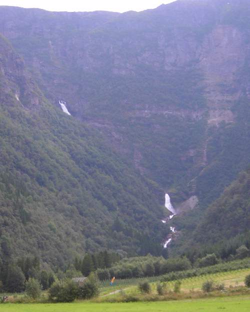 |
| Almost back to the fjord and village. And yes, there is still cloud brushing the tops on the far side. | 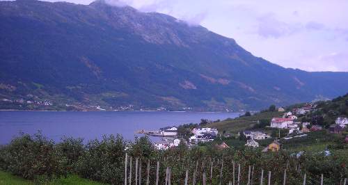 |
There are various paths around Lofthus that make up the Fruit Trail, with interesting facts presented along the way on giant information boards. The walk is mostly along lanes, passing through the orchards. You can extend it to the Skrelhaugen Folk Museum, which is a collection of preserved wooden farm buildings. There is also an exhibition of contemporary art inside some of the buildings, but these were not open when we visited.
The walk also passes the church, which is worth a visit.
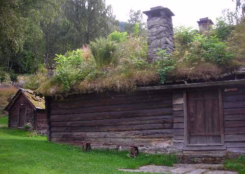
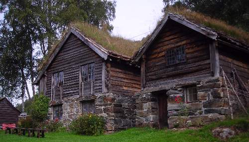
Some of the old wooden farm buildings in the folk museum, with earth roofs supporting grass, ferns and even small bushes! |
 |
| I suspect this one is a granary, raised off the ground to deter mice and keep the grain dry. | 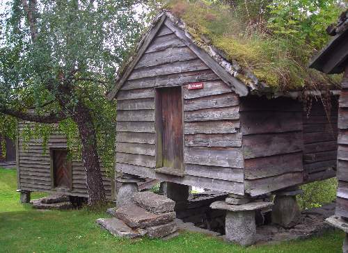 |
 |
|
| I'm not sure if this house is in its original position, but that is certainly an old tree beside it! Ash, as far as I remember. | 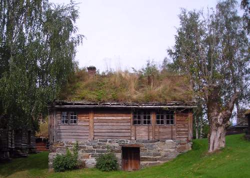 |
| ...and this bent one is a birch. | 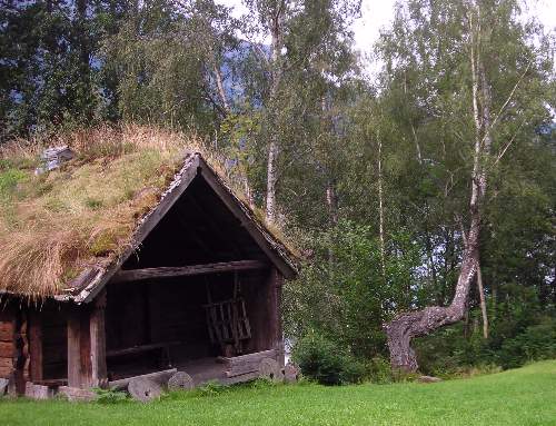 |
| The board on the left is one of those relating to the fruit trail; the right hand one is a more general tourist information panel provided by the local authority in Lofthus. | 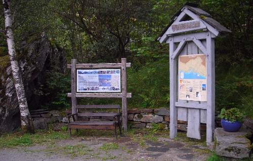 |
| A more detailed look at the board on apples – all the information is in Norwegian, English and German. | 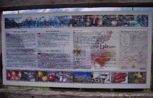 |
| This rather fine building is the local high school. | 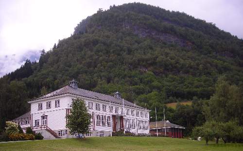 |
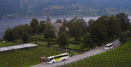
View of the church – as you can see from the buses it is a bit of a tourist magnet! The church was first built c1250 but has been restored since, with beautiful painted details and a decorated gallery inside; the churchyard is also beautifully maintained with neat displays of plants and flowers on most of the graves. There are some fine trees around the edge of the churchyard, including two large beeches. There are some large, worn stones propped against the church wall outside. These are old tombstones, dating back to the 14th century. |
 |
| Inside Lofthus church. | 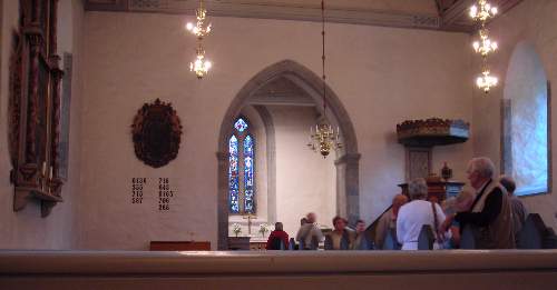 |
| Looking back at the gallery. We would call this a minstrels’ gallery, but I don’t know if this is true in Norway. | 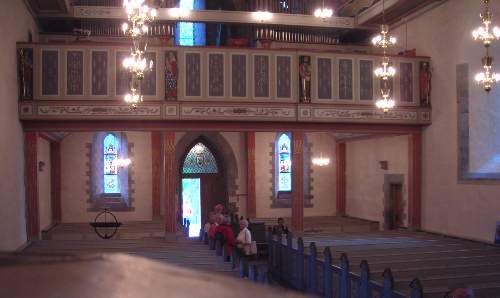 |
| This is what you get if you lay the camera flat on its back on the floor! The painted decoration was very delicate. | 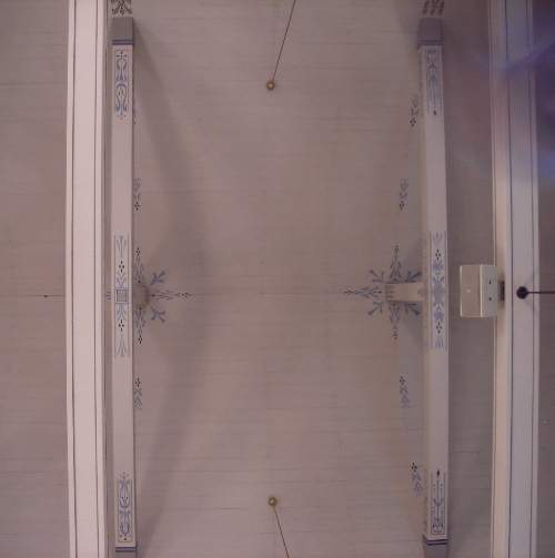 |
We returned to Bergen via the “Express boat” which was a high-speed catamaran – great fun. This is really just an excuse for lots of atmospheric pictures of the Hardangerfjord. From Nordheimsund where the boat docked we caught the bus, which took about an hour to reach Bergen, spending a good deal of time in tunnels!
| Hotel and its gardens – note you can just see the very high waterfalls Bjødnejykse and Skrikjo in the backgound (see Day 5) | 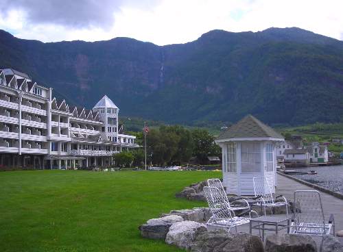 |
| Wooden statues (more or less life size) in the hotel gardens. | 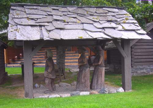 |
| This is the Express boat on its way to the dock in Lofthus village (from where it returned to pick us up from the bottom of the hotel garden – very convenient. | 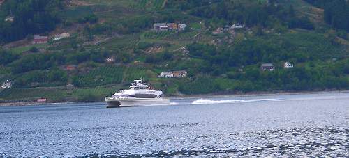 |
| Leaving Lofthus. | 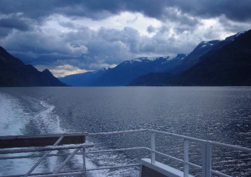 |
"
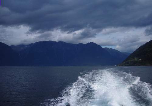
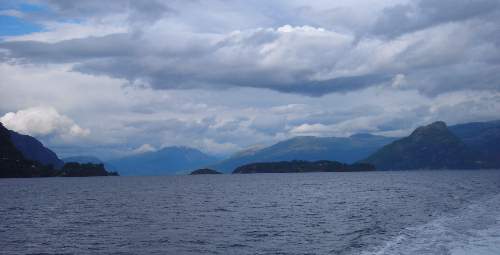
| And again - I just can’t resist cloudscapes! As you can see from the wake the boat goes at a fair lick. | 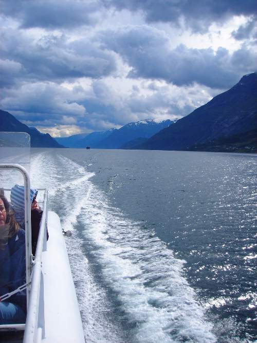 |
| A huge white cruise ship, probaly heading for Bergen. | 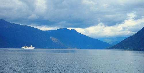 |
| One of several waterfalls cascading down the fjord’s sides. | 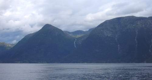 |
| Leaving a village which the boat visited en route. You can see from the lady’s hair that this is a very windy way to travel. | 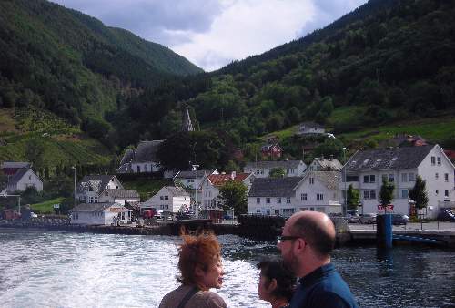 |
 |
|
 |
|
| I just love the lighting on this one – looks as if an alien spacecraft might materialise through that hole in the clouds at any minute! | 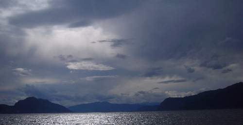 |
| Looking the other way things were a bit less dramatic. | 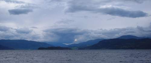 |
| As I said, I can’t resist cloudscapes (and the light on the water). | 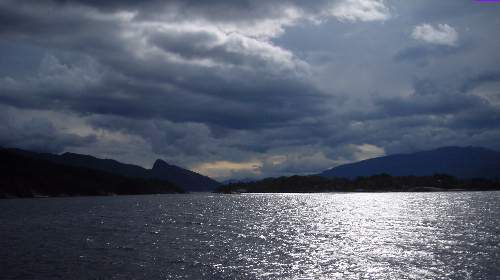 |
 |
|
| You can just make out high snow-covered mountains left of centre. This is taken from near Norheimsund where we transferred to the bus – much less exciting. | 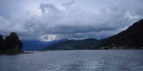 |
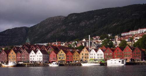
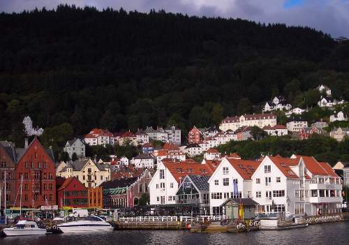
| Just a “we woz ere” shot from the hotel window in Bergen. As you can see quite big ships can dock almost in the city centre. | 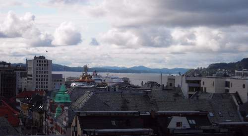 |
We arrived quite late in the evening, and after a quick trip up the Fløibanen cable car the light was going, so apologies for the poor quality of the photos. We left for the airport early the following morning, so I didn’t really get a chance for a good look around the old city, which is a pity.
| A slightly different view from the window! | 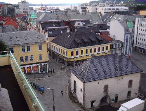 |
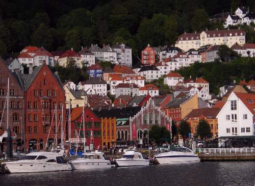
| One of the city streets in behind the fish market. | 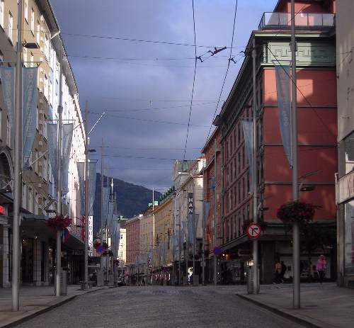 |
| We didn’t have time to visit this castle, on the far side of the harbour. | 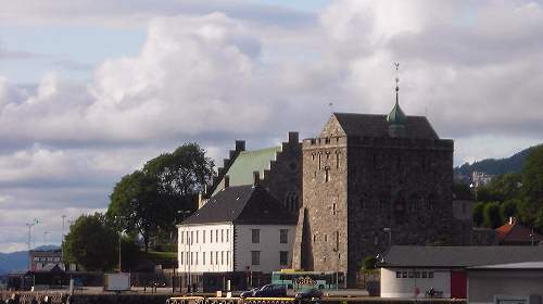 |
| View across the harbour to the old city. | 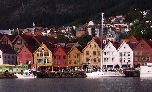 |
 |
|
 |
|
 |
|
| View from the top of the Fløibanen. | 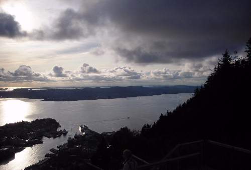 |
| The right hand half of the same view.... | 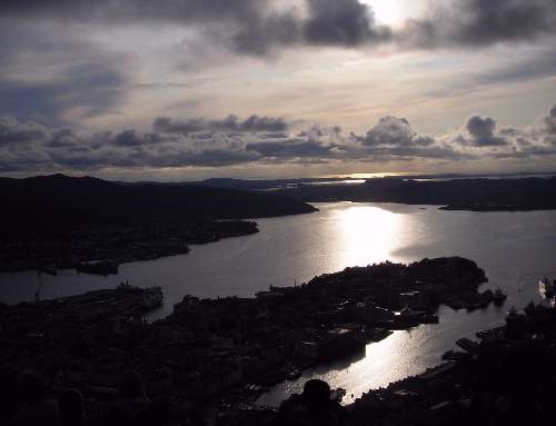 |
| View of the city from above. | 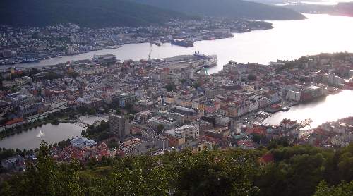 |
| Zoom in on the harbour. | 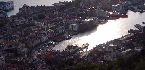 |
| Left... | 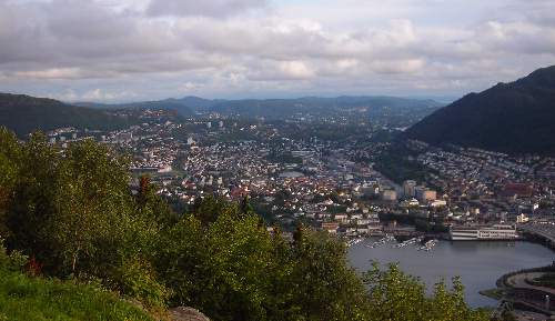 |
| ...and right. The airport is away behind the hill. | 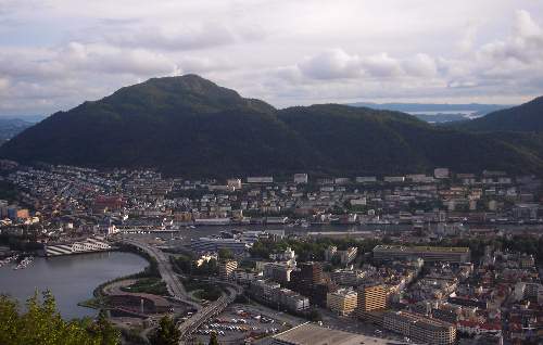 |
| Rock catchfly Silene rupestris, growing near the top station of the cable car. The flowers are about a third of an inch across. | 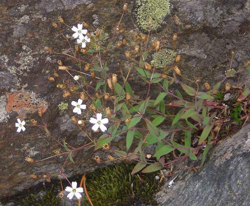 |
| More dramatic clouds. | 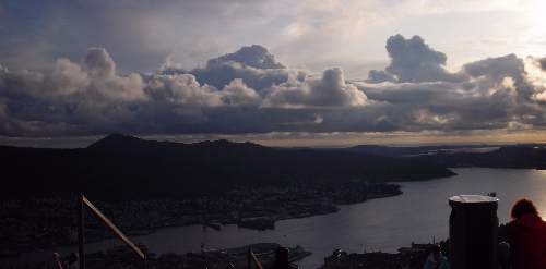 |
| The cable car arriving at the top station. | 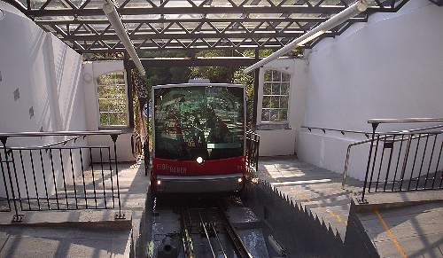 |
| The bottom station. | 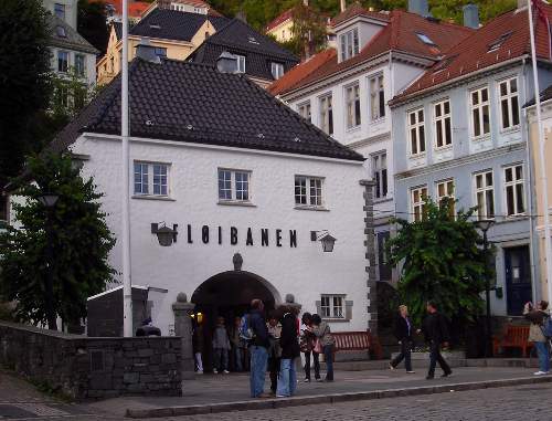 |
| Coming down – it is very hard to get a photo that shows just how steep the track is. | 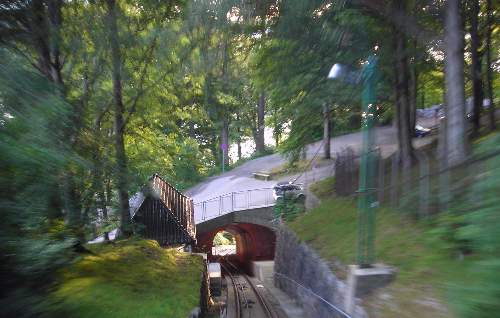 |
| This is a manhole cover in the old city; they were all like this, quite attractive I thought. | 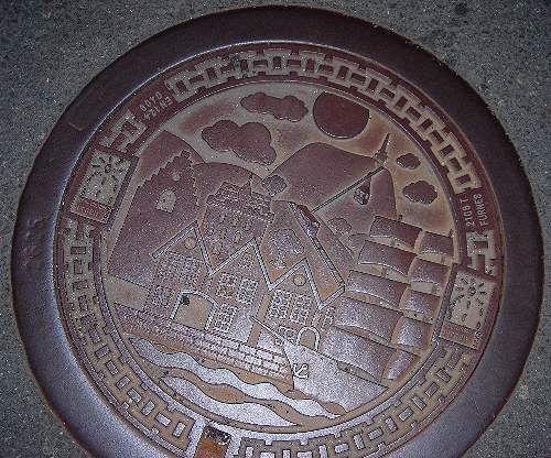 |
| Keeping guard on one of the old wooden houses. | 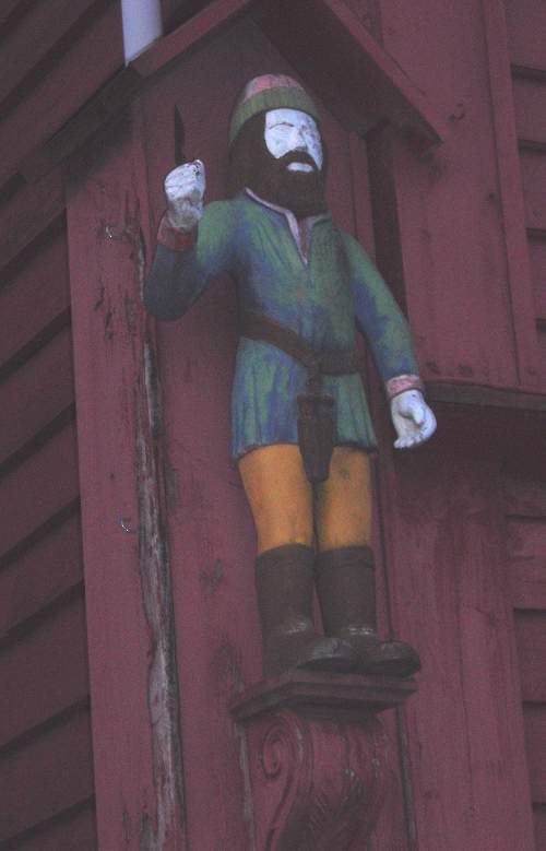 |
| One of the alleyways running up between the old wooden houses. It reminded me rather of York. | 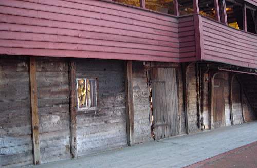 |
| An old stone building at the end of the alley, i.e. behind the wooden buildings. It had a peaceful, almost rural feel to it, a mere hundred yards or so from the bustling quays. | 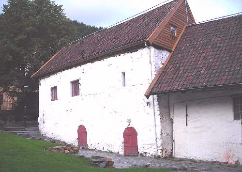 |
| Another old building (facing the one above). I think this was some kind of museum, but it was closed. | 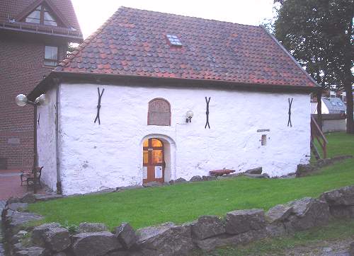 |
| Coming back down towards the harbour which is just beyond the two people silhouetted in the alleyway at the extreme right. As you can see from the lights under the jettied first floor it was now almost dark! |  |
| Finally, arriving back into Edinburgh – a fine view of the Forth bridges, complete with scaffolding for the painters! | 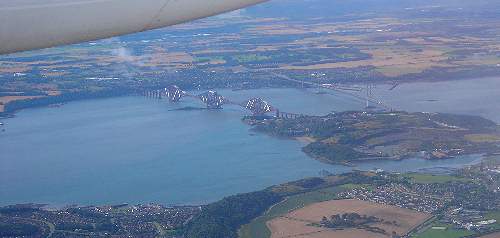 |
text and photos © Gill Smith 2009